







The Don Valley is getting a new landmark
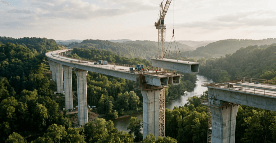
Drive the Don Valley Parkway lately and you've probably noticed it. Concrete piers marching across the valley floor, cranes swinging over the treeline, a new piece of Toronto taking shape in mid-air. That's the Ontario Line's elevated crossing, and honestly, it's going up faster than a lot of Torontonians expected.
So where do things stand? As of late July 2026, thirteen guideway piles and ten piers are done along the roughly three kilometre elevated stretch. The northern terminal station is now going vertical, and that's the moment a construction site stops looking like a field of columns and starts looking like an actual transit line. For a project this size, watching steel and concrete climb above the valley is the clearest sign yet that the Ontario Line is moving from render to reality.
What the Ontario Line actually is
If you've only half-followed the headlines, here's the short version. The Ontario Line is a brand new rapid transit route running about 15.6 kilometres across the city, connecting the west end near Exhibition and Ontario Place through downtown and up toward the Ontario Science Centre in the northeast. And it's a fully separate line, not an extension bolted onto the existing subway, which means it adds fresh capacity instead of just stretching what we already have.
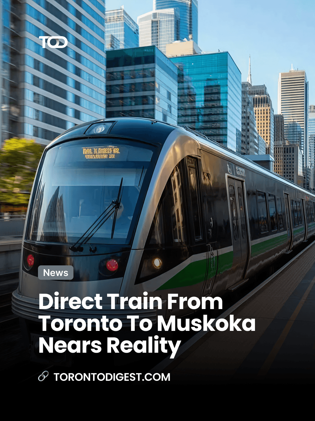
It's built as a modern light-metro system: shorter, driverless trains running at high frequency on their own dedicated track. That frequency is the whole point. Instead of building your day around a schedule, you just show up and a train's there. The full line is slated to open in the 2030s, and it's designed to take real pressure off Line 1. Anyone who's squeezed onto a Yonge train at rush hour knows that relief is long overdue.
Why it runs above the valley
Most of the attention on the Ontario Line has gone to the downtown tunnelling, so the elevated section can catch people off guard. Why lift a subway into the sky over the Don Valley instead of burying it like the rest?
Mostly it comes down to geography and cost. Threading a tunnel under the Don River and its valley is enormously expensive and slow. Crossing above it on a guideway is faster to build, easier to maintain, and it keeps the trains clear of the flood plain. The elevated crossing will sit roughly 30 metres above the valley floor, high enough to clear the river, the parkland, and the rail and road corridors already down there.
And there's a bonus baked into that engineering call. At 30 metres up, riders on this stretch get one of the best skyline views in the entire city. Very few transit trips in Toronto come with a moving postcard of the downtown towers and the green ribbon of the valley. This one will.
What it means for riders
Strip away the construction updates and here's the part that actually matters for daily life in Toronto. A few things change once the Ontario Line is running.
Faster east-west and north-south trips
The line stitches together neighbourhoods that have never had a direct rapid transit link, from the west-end waterfront across downtown to the northeast. So trips that today mean a bus, a transfer, and a lot of patience turn into a single ride.
Real relief for Line 1
By giving downtown-bound commuters another spine, the Ontario Line is projected to pull a meaningful share of riders off the Yonge subway. Fewer people crammed onto one overloaded line means a better trip for everyone still on it. That's a win either way you look at it.
More connections to what you already use
The route is planned to link up with existing subway lines, streetcars, and GO Transit at multiple points, so it plugs into the network rather than sitting off to the side. And that makes car-free trips across the city genuinely practical for a lot more people, whether you're heading to work or out to explore.
The bottom line
Big transit projects in this city have a reputation, and it isn't always a flattering one. So it's worth pausing on what's actually happening in the Don Valley right now. Thirteen piles down, ten piers up, a terminal station rising, and a three kilometre elevated run taking shape above one of Toronto's signature landscapes. That's visible, measurable progress on a line that'll reshape how the city moves.
The full 15.6 kilometre Ontario Line is still a few years out, with service expected in the 2030s. But the elevated guideway over the Don is the part you can already watch grow, and it's going to hand riders a view most cities would kill for. If you want to keep tabs on how it all comes together, our latest Toronto news coverage follows the build. And once it opens, it'll make getting to the best things to do around the city that much easier.
















Recommended for you
Breaking Down the Elements of a Masterpiece Painting
The Revival of Classical Art in a Digital Age
Must-See Art Exhibitions Around the World This Year
The Revival of Classical Art in a Digital Age